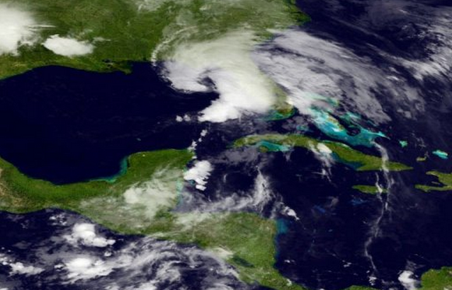
Tropical Storm Andrea Races to Florida

As of 11:00 AM ET on June 6, Tropical Storm Andrea has picked up speed with by 12 mph overnight. The storm now moves at 15 mph with wind speeds of 60 mph. Andrea struck the Florida Keys and Tampa early Thursday morning with gusty winds and heavy precipitation. Meteorologists expect Andrea to continue on its path to the Florida Big Bend, bringing winds of up to 74 mph this evening.
Officials have issued a tornado watch for the central and southern areas of Florida until 11:00 AM ET on Friday. These warnings have been released as a precaution for residents to be aware of the possibility of weak tornadoes generated by Tropical Storm Andrea.
However, rains and flooding related to Tropical Storm Andrea will be the largest hazard. NOAA (National Oceanic and Atmospheric Administration) cautions coastal residents, “The combination of a storm surge and the tide will cause normally dry areas near the coast to be flooded by rising waters” . Reports indicate that the storm could cause an inundation of local areas, with as much as 6 inches of rain in Florida, 8 inches in Georgia, and 4 inches in eastern areas of North and South Carolina.
Forecasts indicate that Tropical Storm Andrea will not develop into a hurricane as it will not have sufficient time over the oceans to gain power.

Recent Comments